Sights from the plane
Seeing the Pyrenees from a plane
The Pyrenees run east to west between Spain and France, so almost every flight between Barcelona and northern Europe crosses them, and each side sees a different part of the range.
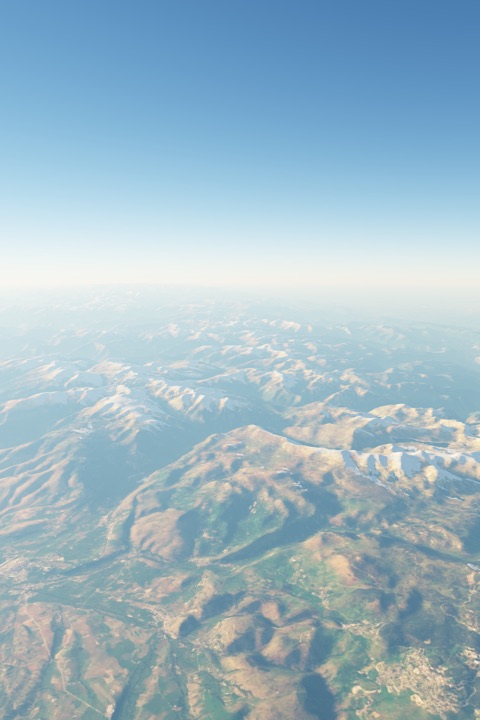
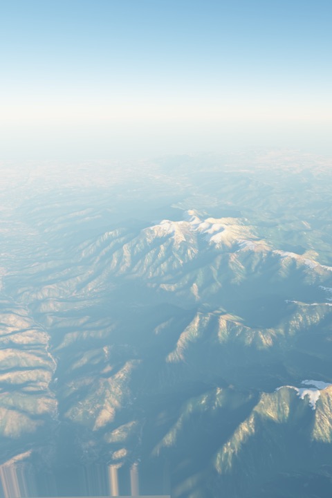
Rendered from real satellite imagery and terrain, not photos. Imagery: EOX Sentinel-2 cloudless (contains modified Copernicus Sentinel data 2017), CC BY 4.0. Terrain: Copernicus EU-DEM via Mapzen terrain tiles.
Northbound from Barcelona, the high central Pyrenees (Aneto, 3,404 m, and Pica d'Estats) are to the west of the path, so they are on the left. The Canigó massif, the last big mountain before the Mediterranean, is to the east, on the right.
Southbound, the sides swap. In November and December the peaks are snow-capped, and late-afternoon flights see them in low golden light.
Which side, by route
- Barcelona → Paris CDG both Aneto (central Pyrenees), about 16 min after take-off · Likely on this side
- Paris CDG → Barcelona both Aneto (central Pyrenees), about 63 min after take-off · Likely on this side
- Barcelona → London Heathrow both Canigou (eastern Pyrenees), about 14 min after take-off · Likely on this side
- London Heathrow → Barcelona both Aneto (central Pyrenees), about 82 min after take-off · Likely on this side