Which side of the plane
Barcelona ⇄ Paris CDG: which side should you sit on?
The Pyrenees are crossed about 15 minutes after take-off from Barcelona, and each side gets different mountains. On late-afternoon flights in winter, the sunset is on the left.
Barcelona → Paris CDG · 858 km · about 105 min gate to gate
Both sides are good: right for Canigó, left for the high Pyrenees
Right side (F): the Montseny, the Canigó massif and the Auvergne volcanoes. Left side (A): the high Pyrenees as far as Aneto. On a late-afternoon departure in winter, the sunset is on the left.
Likely Clear-weather estimate from the usual path. Actual routes vary by tens of kilometres.
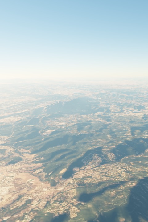
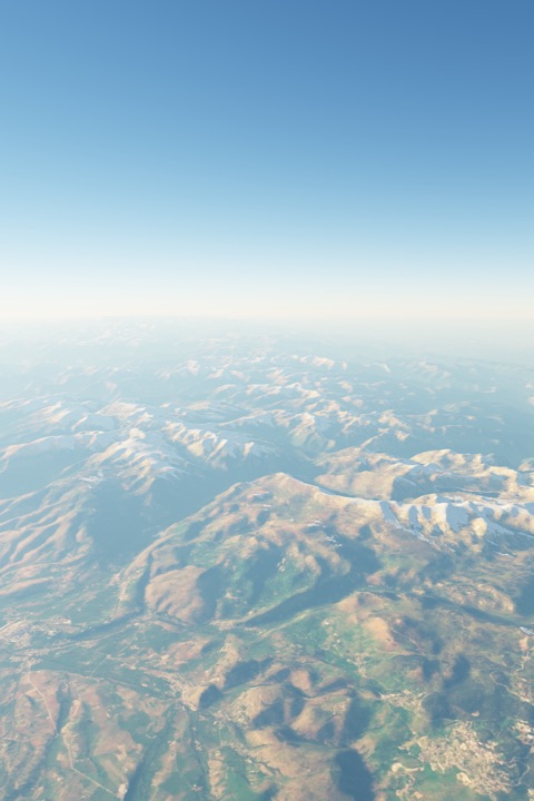
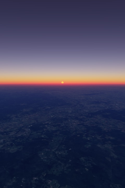
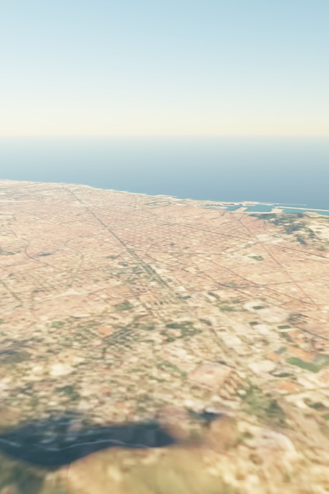
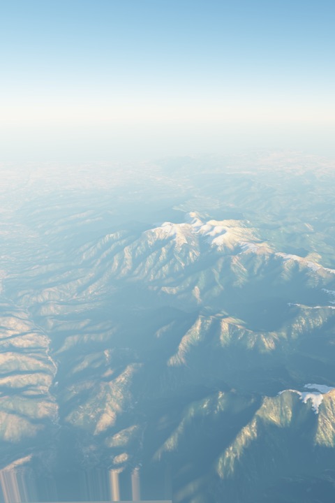
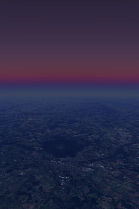
Rendered from real satellite imagery and terrain, not photos. Shown for the 16:05 Vueling departure in mid-November. Imagery: EOX Sentinel-2 cloudless (contains modified Copernicus Sentinel data 2017), CC BY 4.0. Terrain: Copernicus EU-DEM via Mapzen terrain tiles.
What you will see
- take-off MontjuicDepends on the runway in use either
- take-off Sagrada Familia, BarcelonaDepends on the runway in use either
- take-off Tibidabo (Collserola)Depends on the runway in use either
- take-off Montserrat (Sant Jeroni)Depends on the runway in use either
- ~6 min Montseny massifProbably this side; depends on the exact path · about 25 km from the path R
- ~15 min Canigou (eastern Pyrenees)Probably this side; depends on the exact path · about 26 km from the path R
- ~16 min Aneto (central Pyrenees)Likely on this side · about 122 km from the path L
- ~17 min Pica d'Estats (central-eastern Pyrenees)Likely on this side · about 62 km from the path L
- ~22 min Cite de CarcassonneClose to the path: either side, or straight below · about 15 km from the path either
- ~42 min Puy de SancyProbably this side; depends on the exact path · about 38 km from the path R
- ~44 min Puy de Dome (Chaine des Puys)Likely on this side · about 49 km from the path R
- landing Eiffel TowerDepends on the runway in use either
- landing Sacre-Coeur, MontmartreDepends on the runway in use either
Take-off and landing
Leaving Barcelona
By day you take off towards the west and turn left out to sea early. Flights heading north then come back up the coast, so the Barcelona waterfront is likely on the LEFT. At night (11 pm to 7 am) you take off east, straight out to sea, with Montjuïc and the city ahead to the left.
Arriving at Paris CDG
On about 57% of days you land from the east over farmland, with Paris far ahead on the LEFT. On east-facing days (about 43%) the approach passes north of Paris, and the city is on the RIGHT.
Sun side
| Departing | 08:00 | 13:00 | 17:00 | 20:00 |
|---|---|---|---|---|
| Winter | right, low | behind | left, low | dark |
| Summer | right | behind | left | left, low |
Where the sun is at mid-flight, by local departure time. “Low” means sunrise or sunset light on that side; the other side then gets the soft colours without the glare.
Paris CDG → Barcelona · 858 km · about 105 min gate to gate
Both sides are good: left for Canigó, right for the high Pyrenees
Left side (A): the Auvergne volcanoes, the Canigó massif and the Montseny. Right side (F): the high Pyrenees as far as Aneto. On the usual daytime landing at Barcelona, the city is on the right.
Likely Clear-weather estimate from the usual path. Actual routes vary by tens of kilometres.
What you will see
- take-off Sacre-Coeur, MontmartreDepends on the runway in use either
- take-off Eiffel TowerDepends on the runway in use either
- ~33 min Puy de Dome (Chaine des Puys)Likely on this side · about 49 km from the path L
- ~35 min Puy de SancyProbably this side; depends on the exact path · about 38 km from the path L
- ~55 min Cite de CarcassonneClose to the path: either side, or straight below · about 15 km from the path either
- ~62 min Pica d'Estats (central-eastern Pyrenees)Likely on this side · about 62 km from the path R
- ~63 min Aneto (central Pyrenees)Likely on this side · about 122 km from the path R
- ~64 min Canigou (eastern Pyrenees)Probably this side; depends on the exact path · about 26 km from the path L
- ~74 min Montseny massifProbably this side; depends on the exact path · about 25 km from the path L
- landing Montserrat (Sant Jeroni)Depends on the runway in use either
- landing Tibidabo (Collserola)Depends on the runway in use either
- landing Sagrada Familia, BarcelonaDepends on the runway in use either
- landing MontjuicDepends on the runway in use either
Take-off and landing
Leaving Paris CDG
Charles de Gaulle faces west on about 57% of days (2026 figures). Southbound flights then climb west first, so Paris can appear ahead on the LEFT before the turn south.
Arriving at Barcelona
By day, landings come in from the east-north-east over the sea just off the port: the city, Montjuïc, the port, the Sagrada Família and Tibidabo are on the RIGHT. At night (11 pm to 7 am) you come in from the south over the sea, with the Garraf and Castelldefels coast on the LEFT.
Sun side
| Departing | 08:00 | 13:00 | 17:00 | 20:00 |
|---|---|---|---|---|
| Winter | left, low | ahead | right, low | dark |
| Summer | left | ahead | right | right, low |
Where the sun is at mid-flight, by local departure time. “Low” means sunrise or sunset light on that side; the other side then gets the soft colours without the glare.